
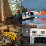
Vancouver Then and Now Aerial Photos
Continuing my Then and Now photo series of Vancouver I went on the hunt for aerial images this morning. Funny thing is, after hosting the Olympics in your town “aerials” bring up images of athletes on skis and not views from a plane. It was a pleasant surprise however the following all feature pictures taken from planes around Vancouver and as usual, the “then” photos are courtesy of the City of Vancouver Archives‘ online photo collection.
Vancouver Then and Now Aerial Photos
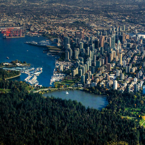
Stanley Park Entrance
Looking at South toward the city
1919

Photographer: Stuart Thomson, Item #CVA 1123-6
2009
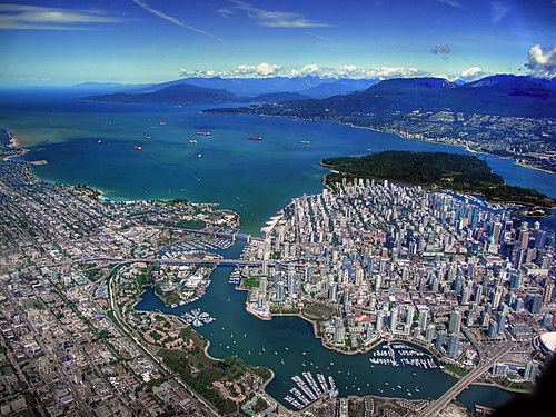
Kitsilano
Looking North across False Creek from Kitsilano
1931

Major Matthews Collection, Item #Van Sc P10.1
1966

2009
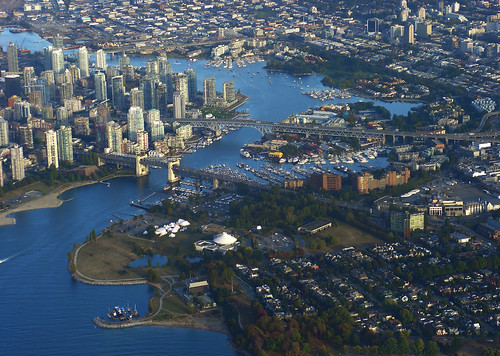
Kitsilano False Creek
Looking North West from Kitsilano to downtown
1919

Photographer: Stuart Thomson, Item #CVA 1123-3
2006
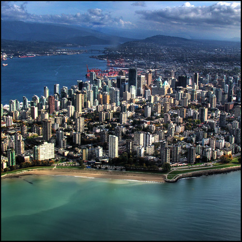
English Bay with City
1926

Royal Canadian Air Force, Item #Van Sc P65
2008
I have about a dozen more archive photos I’d love to post but I just can’t seem to find modern day equivalents of them on Flickr. Should you have any aerial shots of the city please feel free to add them to the Miss604 Flickr Group.

8 Comments — Comments Are Closed
I wonder what those monstrous sized buildings are near the end of the bridge in the first pic. HUGE buildings.
The one closer to the water on the Coal Harbour side is actually the Denman Arena. It was Canada’s first indoor ice rink for hockey and is where the Vancouver Millionaires won the Stanley Cup.
Miss R…. very nice. I love stuff like this!
I think I know what your next book should be about…these are awesome!
Super cool to compare, Rebecca.
[…] especially since so much of the city’s growth has taken place since 1980. These photos from the Miss 604 Blog really demonstrate that growth, Downtown Vancouver in […]
Those old aerial shots of the city got me thinking about whether they were taken from a plane or a balloon. Turns out the first heavier than air flight in B.C. has its centennial on March 25th this month.
nice comparisons here! The amount of change over the past 100 years or even 10 years is staggering.
While I haven’t delved into the world of then and now aerials, I have over 300 then and now street shots I’ve done of Vancouver over the past couple of years that may be of interest:
http://www.flickr.com/photos/entheos_fog/sets/72157594314946340/